
GIS solutions to control, manage and sustainably enhance your infrastructure data
A complete ecosystem of GIS solutions to ensure the reliability and value of your infrastructure data, from data collection to decision-making

A software suite designed to ensure the reliability, quality and value of geospatial data
Solutions available as SaaS or integrated into your information system, giving you full autonomy to digitize, qualify and leverage your data
Collect
Collect your data and ensure the reliability of your datasets with our mobile GIS application


Leverage
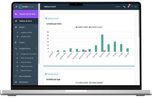
Visualize, edit, manage and analyze your infrastructure data with our web GIS platform


Validate
Model, structure and validate the quality of your infrastructure data

Explore
Query your data using natural language with an AI designed for GIS


Who are our solutions designed for?
Our solutions are designed for all infrastructure stakeholders: public and private operators and asset managers, network operators, contractors, system integrators, engineering firms and consulting companies looking to ensure data reliability, streamline operations and maximize the value of their GIS data.
They support fiber (FTTH), energy (electricity, gas) and water networks, and adapt to all types of infrastructure, including public lighting, electric vehicle charging infrastructure (EV charging / EVSE) and LoRaWAN networks.
Our expertise
With 18 years of expertise in infrastructure data management and geographic information systems (GIS), Dotic develops an ecosystem of solutions to ensure the reliability, structure and value of territorial data.
From data collection and updates to quality control, through to visualization and operational management, our tools make data accessible and actionable for all users, from experts to operational teams. Designed with industry needs in mind, our solutions adapt to operational constraints and support the sustainable management of networks and infrastructures (fiber/FTTH, electricity, water…).

Dotic’s expertise in georeferencing enables us to support you throughout your projects and rapidly deploy solutions tailored to your operational GIS and data management needs.

Dotic designs business applications (web and mobile) tailored to your operational needs, especially for data management and network construction and operations.
Expertise dedicated to structuring, standardizing, quality control and industrializing geospatial data processing. Objective: make your data comparable, reliable and actionable by automating processes as much as possible to improve efficiency, consistency and robustness.

Fiabiliser les interventions ou les contrôles tout en gagnant du temps est un sujet qui prend une importance qui prend une importance croissante dans les organisations. Fort de sa connaissance des problématiques opérationnelles de ses clients, Dotic développe son propre module d’Intelligence Artificielle (IA), intégré à ses logiciels.
Trusted by


A project?