
Discover the latest news from Dotic and our software innovations dedicated to geospatial data management.
Our latest news

ConnectServices evolves: discover editing mode for designing and updating your networks
The ConnectServices industry-focused GIS platform now includes a powerful new feature: editing mode. Create, modify and update your infrastructure data directly within the web GIS environment — without switching between tools.
04/28/2026

Dotic conference at the Afigéo “Platforms & Innovation” event
“Industrialising open-source geospatial processing: data integration, validation and storage” was the topic presented on April 8 by Thibaud Billoteau, GIS expert at Dotic, during the Platforms & Innovation Meetings organised by Afigéo and Ecolab.
04/08/2026
ConnectServices now includes a new FTTH incident management module
Discover the new feature dedicated to monitoring and managing incidents across FTTH infrastructure networks.
03/17/2026

Meet Dotic at GITEX Africa 2026
Dotic and its Moroccan subsidiary DM Geosoftware are strengthening their ambitions across the African market.
03/09/2026

High-Precision Field Data Collection with the ConnectField App
Recent developments in the ConnectField mobile application now enable connectivity with professional GNSS devices.
02/27/2026

Webinar – December 16: Unlock the full potential of your data and gain autonomy with AI integrated into the web GIS platform
Through this webinar, Dotic invites you to discover—through a live demonstration of its solutions—how this technology is now integrated into Web GIS platforms and helps optimize your day-to-day business processes.
12/07/2025
Dotic exhibits at SCWEC 2025 in Barcelona
From November 4 to 6, 2025, Dotic will be attending the Smart City World Expo Congress in Barcelona — the global meeting point for smart city stakeholders. This international event brings together public decision-makers, technology companies and industry experts shaping the sustainable and digital cities of tomorrow.
11/04/2025
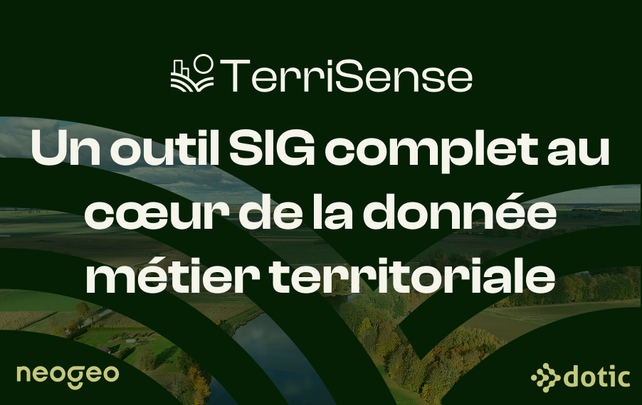
Dotic and Geofit launch TerriSense: a GIS platform for unified territorial data management
TerriSense is designed to provide unified and intelligent geospatial data management by combining NEOGEO’s OneGeoSuite data sharing platform with Dotic’s ConnectServices infrastructure management solution.
06/28/2025

ConnectField is being deployed in Congo to map the electricity distribution network
Sifens, one of the leading service integrators in Congo, has chosen Dotic’s solutions — ConnectField and ConnectServices — to geolocate residential electricity distribution points, combined with field surveys conducted prior to the installation of a new generation of electricity meters by Energie Electrique du Congo (E²C) in Pointe-Noire.
02/20/2025